..
|
|

|
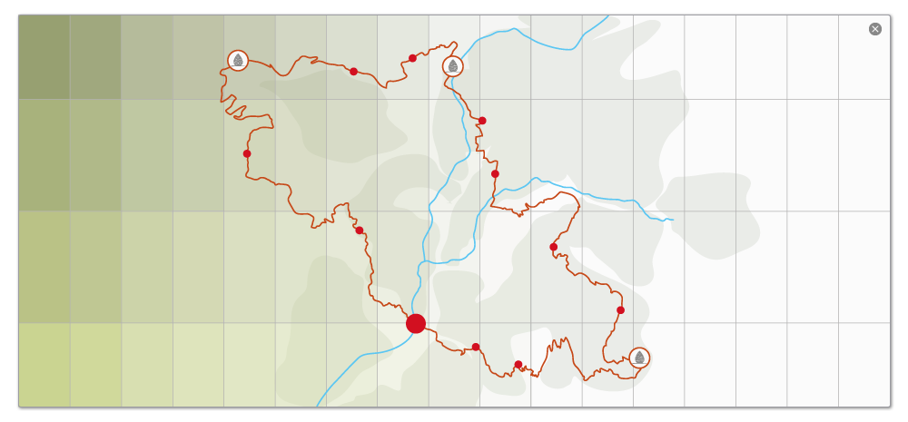
Itinerary By car  Parking: Abros Distance: 51 km from Digne-les-Bains Time: around 50 mins Parking: Abros Distance: 51 km from Digne-les-Bains Time: around 50 minsTake the N85 towards Sisteron. Go through Château-Amoux. Follow the D4 towards L'Escale / Volonne. At the small village of St Puy, turn right taking the D 217 towards Entrepierres. At a crossroads by the school in Entrepierres turn right towards Vilhosc (still on the D217). Continue through Vilhosc until you reach the Pont (bridge) de la Reine Jeanne, on the right, where the road becomes a track (though still passable for motor vehicles). There is a car park after the single house in Abros on the banks of the river Vançon. Hike Total time: 2 hrs Total distance: 3.5 km Net increase in altitude: 230 m Markings: (1)-(2), white and red; (2)-(4), yellow.(1) From the car park, take the path that crosses the Vançon via a ford that may be tricky after a storm, or in the spring. (2) Another 500 m further on, turn left onto the narrow path that leads upward through a wood in the valley. Be careful not to miss the start of the path, which goes up to the ridge. (3) Entering the forest of conifers, the path, lined by rocks, rises progressively. (4) At this point, go straight on past a ruin on the left that is overrun by vegetation. The Refuge d'Art – La Forest is on the other side of the clearing. Return by the same route. GPS references voiture-digne-abros.gpx By car rda-la-forest.gpx Hikes NB : all our GPS references are given in <.gpx> format. For files in formats such as <.trk>, <.grm> and <.kml>, you can do an automatic conversion by going to tracegps.com 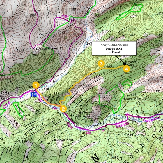
| ||||||||||||
|
| ||||||||||||
|
|